A Physics AI living digital twin for primary medium-voltage underground distribution.
Every segment scored. Every score auditable back to the inputs behind it — measured or imputed. Earthflow Underground is a solution for Underground Cable Health.
Which corridors buy the most risk reduction per mile of spend.
Rank segments for partial discharge and tan δ, instead of testing on the calendar.
A health score on every segment, with remaining useful life and a confidence band.
Where headroom runs out — before the new load arrives to find it.
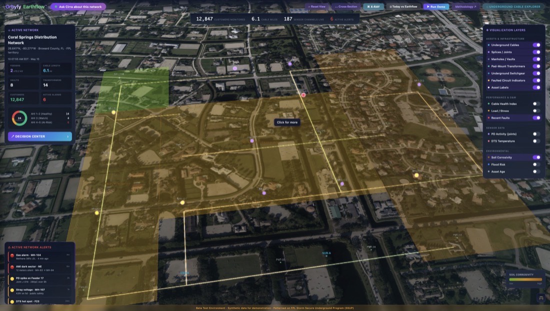
~1.1 million miles of underground distribution cable — and utilities cannot see any of it.
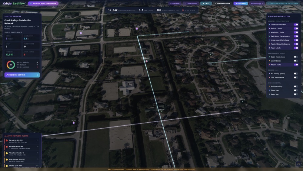
Replaced on age, not evidence — and an underground fault costs 3–4× an overhead one to restore.
Headroom judged on nameplate ratings — while electrification and new load keep arriving.
VLF, tan δ and sheath integrity all need the segment de-energized. Most utilities test a fraction and run the rest to failure.
+5,000–10,000 miles a year are going underground. The blind spot in the power grid is growing.
Earthflow powers granular geographic site intelligence — environmental perils on infrastructure. Acre by acre.
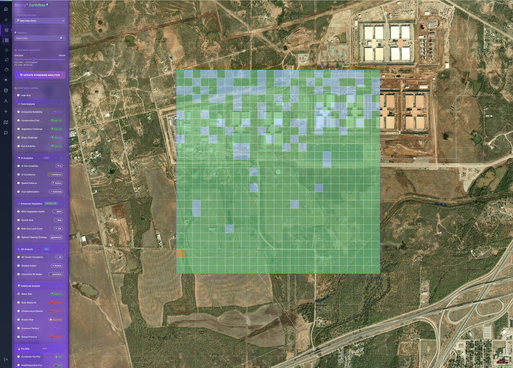
70+ data sources · 200+ KPIs per location · 1,100+ data points per lat/long · 1,300 sites · 1M+ acres analysed
- Asset registry · route & vintage
- Outage history · 5–10 yr, the ground truth
- Feeder loading · ≥1 yr, 15-minute
- Meter intervals · de-identified load shape
- Soil chemistry · 26
- Soil moisture · 44
- Flood exposure · 49
- Precipitation · 36
- Ground movement · 24
- Surface erosion · 60
Schema Auto-Mapper aligns whatever fields you have — 80% mapped in 48 h, an analyst validates the rest. No common data model required, and no staff time on data prep.
Fused per segment — it resolves to your cable route, not a regional average.
The same four questions — now answered on every feeder segment.
Corridors ranked by risk reduction per mile of spend.

The worst-segment list your partial-discharge and tan δ crews work from.
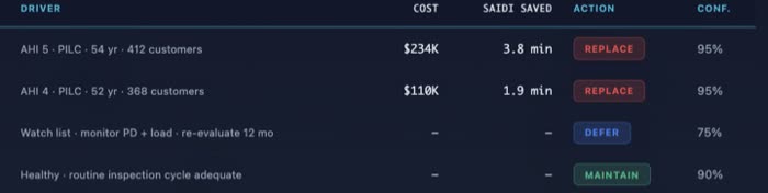
Vintage, your outage history, soil corrosivity and flood exposure — with remaining useful life.
A thermal rating from soil properties and burial method, against your measured loading.
Produced by eleven physics-grounded modules — AHI Composite · RUL Survival · PD Analytics · Soil Corrosion · Flood Hydrology · Manhole Risk · Dual-Basis Thermal Rating · Loading & Headroom · Fault Triangulation · AMI Dark-Sector · Capex Deferral.
Every score carries a value, a confidence interval and its provenance — each input tagged measured or imputed, so a number can be defended rather than just quoted.
Up to 10 years of deferred capital, and ~10% off underground O&M (modelled)